
County maps
See Mitchell County by the layer.
Roads, districts, townships, tax units, wards, polling places and recreation maps all stay inside one County map desk. Choose a collection, then switch sheets without leaving the page.
18 published sheets4 collections1 viewer
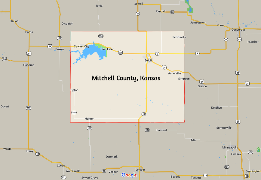

Mitchell CountyNorth Central Kansas · Solomon Valley
RegionSolomon ValleyCounty seatBeloitRegional corridorU.S. Highway 24Outdoor landmarkWaconda Lake
County-published map library
The map stays put. Everything else comes to it.
The document viewer is now the visual center of the page. Collections, next/previous controls and the sheet strip all change the same map in place instead of turning the experience into a directory of links.
Collections
Countywide
Tax unit boundaries
Taxing-unit reference
05/ 07
Selected Tax unit boundaries. Map 5 of 7 in Countywide.
Production migration would include document accessibility review and equivalent text/context where needed. View the County’s current maps source ↗